Africa’s True Size to Be Better Reflected on World Maps.
The United Nations General Assembly has adopted a resolution supporting the use of a new world map projection that more accurately represents the actual size of Africa and other continents.

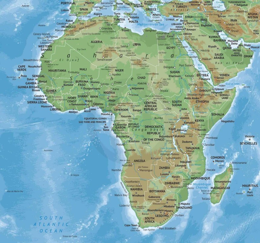
The resolution was passed on Friday with 164 countries voting in favour, including major international powers such as France and the United Kingdom. The United States voted against it, while Estonia, Georgia, Lithuania, Moldova, Serbia and Ukraine abstained.
The initiative followed a push by African countries, led by Togo, for Africa to be represented on world maps in proportion to its actual size rather than appearing significantly smaller than it is.
Togo’s Foreign Minister Robert Dussey, whose country spearheaded the initiative, said before the vote: “A fair world begins with a fair map.”
The issue stems largely from the widespread use of the Mercator projection, created in 1569 by Flemish cartographer Gerardus Mercator. While the projection remains useful for navigation, particularly at sea, it significantly distorts the relative size of land masses, especially those farther from the Equator.
Under the Mercator projection, Greenland can appear roughly comparable in size to Africa. In reality, Africa is about 14 times larger than Greenland.
To address such distortions, a group of cartographers developed the Equal Earth projection in 2018. The map was designed to preserve the relative areas of continents and countries more accurately.
All 54 African Union member states have supported the Equal Earth projection, which gives a more proportionate representation of Africa’s vast landmass.
France welcomed the UN resolution. Foreign Minister Jean-Noël Barrot said his country would begin using the new map.
“Changing the world map does not mean changing the world. Correcting the true appearance of the continents is an act of truth,” Barrot said.
The United States, however, opposed the resolution. Its representative to the UN, Yaryna Ferencevych, argued that the General Assembly should concentrate on issues such as international peace, security, development and economic challenges.
Explaining the US position, Ferencevych said: “Instead of focusing on real issues concerning international peace, development and the economy, or good relations between countries, this body is debating map projections from the 16th century and their role in advancing historical reparations and ‘epistemic justice.’”
Some international affairs observers have linked the US opposition to wider disagreements with recent UN decisions concerning the historical legacy of slavery.
The resolution does not require countries to immediately stop using the Mercator projection. Instead, it encourages governments, international organisations, schools and other institutions to consider maps that provide a more accurate representation of the relative size of continents.
The UN also recognises that the Mercator projection continues to have practical value, particularly for maritime navigation.